Estimating Thermal Emissivity for Calculation of Kinematic Temperature Using Infrared Thermography and Microbolometer Cameras
A model for calculating thermal emissivity (the ratio between actual and perfect emissivity) for more accurate precision agriculture thermal imaging has been developed on a more granular scale than is currently available from satellite data.
Problem
Thermal imaging is useful in several applications, including temperature measurements of crops and surrounding soils and flora, which can help farmers identify plants that may be at risk of damage. As measured, however, surface temperature calculations are generally inaccurate in that they must be corrected for emissivity, or the ratio of radiation emitted by an object to that emitted by a perfect (blackbody) emitter. Emissivity data can be obtained from NASA’s satellite missions, but these are limited in their resolution; one pixel of a satellite image would likely cover an entire farm, rendering them useless for analyzing specific parcels of land. To correct for emissivity on smaller scales, modern thermal imaging devices currently use assumed emissivity values based only on the type of surface. However, thermal emissivity is influenced by many other factors, including reflectance, roughness, water content, kinetic energy, and spectral response of the sensor. Consequently, temperature values calculated using conventional methods have been shown to yield margins of error of up to 10 degrees Fahrenheit. Applications such as precision agriculture could benefit from temperature maps corrected by more accurate surface emissivity values.
Solution
Using optical and thermal data from satellites, USU researchers have developed a model for thermal emissivity. This model can create an emissivity map for a given parcel of land based on optical data for that parcel of land. An accurate thermal map of the parcel can then be generated, where the values from the emissivity map are used to correct kinetic temperature values.
Benefits
Unlike the current emissivity data provided by NASA, which is only useful for large-scale analysis, this technology can map emissivity values on a small scale. The technology can improve the accuracy of thermal cameras, which currently use constant and generally inaccurate values for emissivity.
Applications
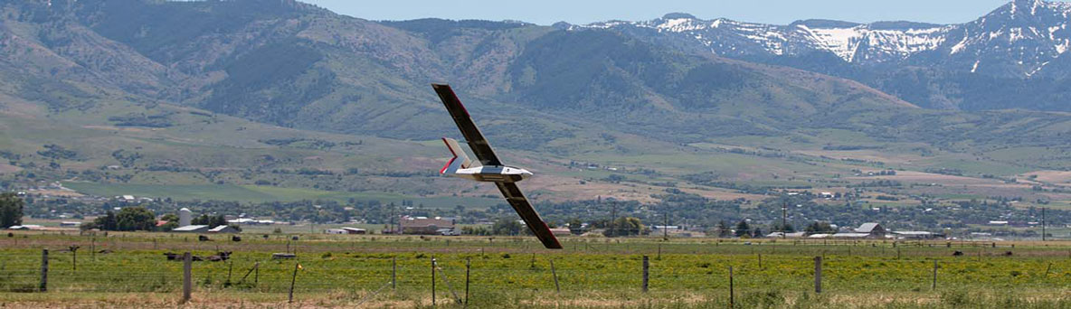
This technology will be especially useful in the development of accurate unmanned aerial vehicle (UAV) thermal cameras, particularly in the precision agriculture industry, improving the accuracy of thermal imaging and facilitating aspects of crop management including identification of drainage, at-risk crops, and optimal soil zones.
Contact
Questions about this technology including licensing availability can be directed to:
Alan Edwards, MA, JD
Manager, Technology Transfer Services
(435) 797-2328 alan.edwards@usu.edu
Inteum ID C19018
Development Stage
TRL 3